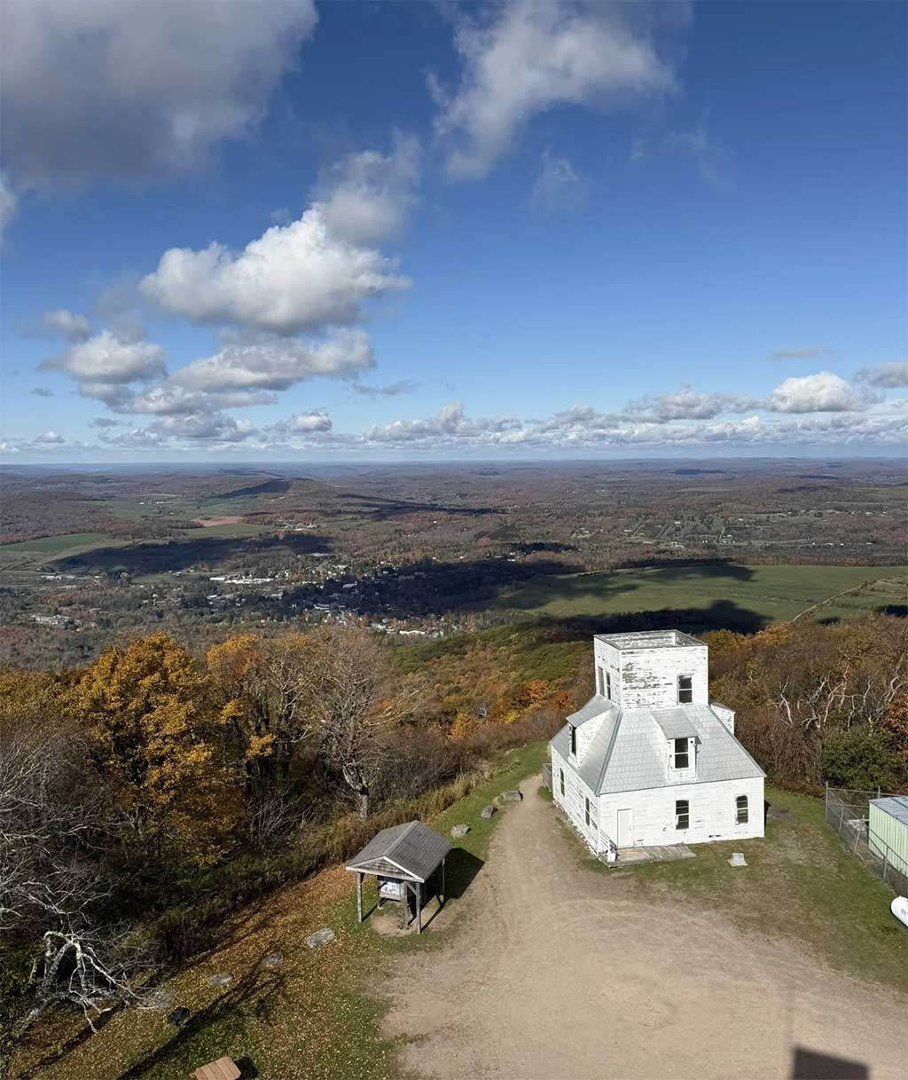
Photo by Alex Moliski.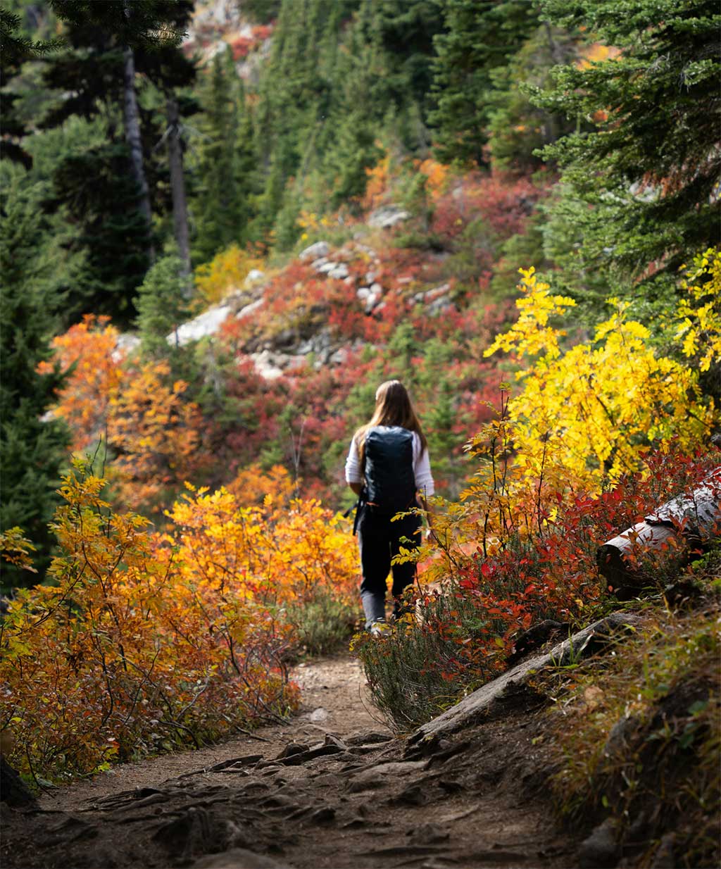
Relish the Hudson Valley and Catskills autumn by getting out there and diving in. Bathe in it. Notice the way the leaves filter the light to gold in the deep forest. Breathe deeply the scent of change. And take a walk to a destination spot with a panorama where you can revel in a scene so glorious it will bring a song to your heart.
Breathe deeply the scent of change.
Here are some of the best of the best, places where an easy-to-moderate effort pays off with stunning views.
must haves
• Sturdy, grippy footwear
• Water
• Lightweight layers (a waterproof windbreaker over a sweater is perfect)
• Thorough grasp of Leave No Trace principles and trail etiquette
nice to haves
• Binoculars
• Journal, sketchbook, or voice recorder
• Snacks
Photo by Nicole Gordon.Poets' Walk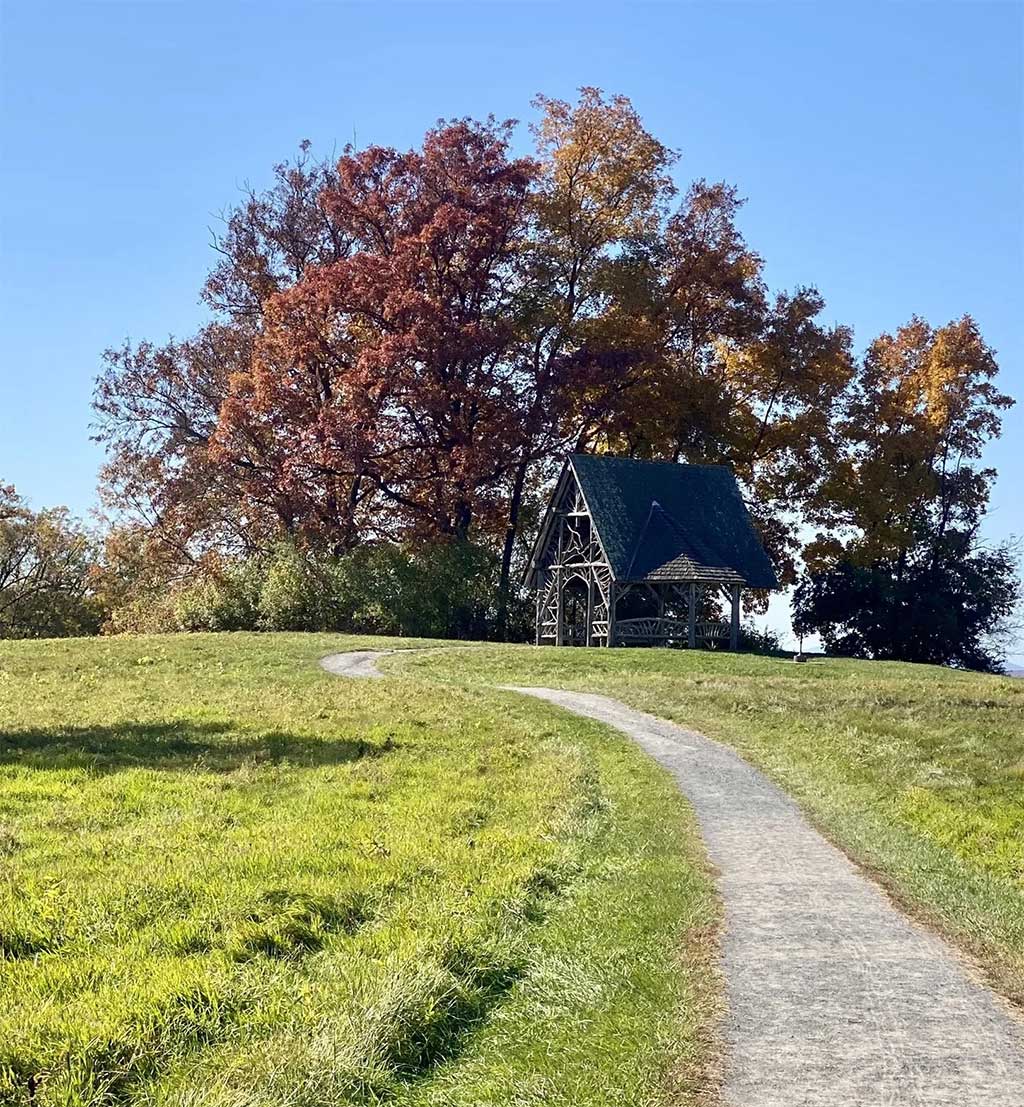
THE WALK: 2.3 miles along mowed grass and gravel.
THE HISTORY: German-born landscape architect Hans Jacob Ehlers was commissioned by the Astor and Delano families to construct a woodland path. It’s named “Poets' Walk” in honor of Washington Irving and Fitz-Greene Hallock, who were both said to have loved this spot.
SPECIAL FEATURES: Your walk proceeds through 12 distinct “outdoor rooms” separated by stone walls and stands of trees.
VIEWS: Hudson River, Catskill Mountains.
GETTING HERE: From Route 9 (Broadway) in Red Hook, take Rokeby Road west. Stay on Rokeby till you see the left turn onto River Road after about 2 miles.
776 River Rd
Red Hook, NY 12571
scenichudson.org/explore-the-valley/scenic-hudson-parks/poets-walk-park
THE WALK: This one is a bit more work. It’s a 5-mile out-and-back up an old gravel road, quite steep and rocky, but many find it worth the effort.
THE HISTORY:In the 1800s, this was the site of the highest of the legendary “mountain houses” that welcomed the first wave of Catskills tourism.
SPECIAL FEATURES: You’ll see the ruins of the Overlook Mountain House. At the top, you can gain even more elevation by climbing the fire tower. Keep an eye out for rattlesnakes; you’re unlikely to see one, but watch where you put your feet just in case.
VIEWS: 360-degree view of the Hudson Valley and river to the east and Catskills to the west.
GETTING HERE: From the center of Woodstock (Route 212/Tinker Street) turn onto Rock City Road, which is at the east end of the Village Green. Rock City Road becomes Meads Mountain Road, and you’ll find the trailhead parking lot on your right a little over two miles out of town.
353 Meads Mountain Road
Woodstock, NY 12498
scenichudson.org/dec.ny.gov/places/overlook-mountain-wild-forest
Photo by Lia Plankerhorn.Overlook Mountain Peak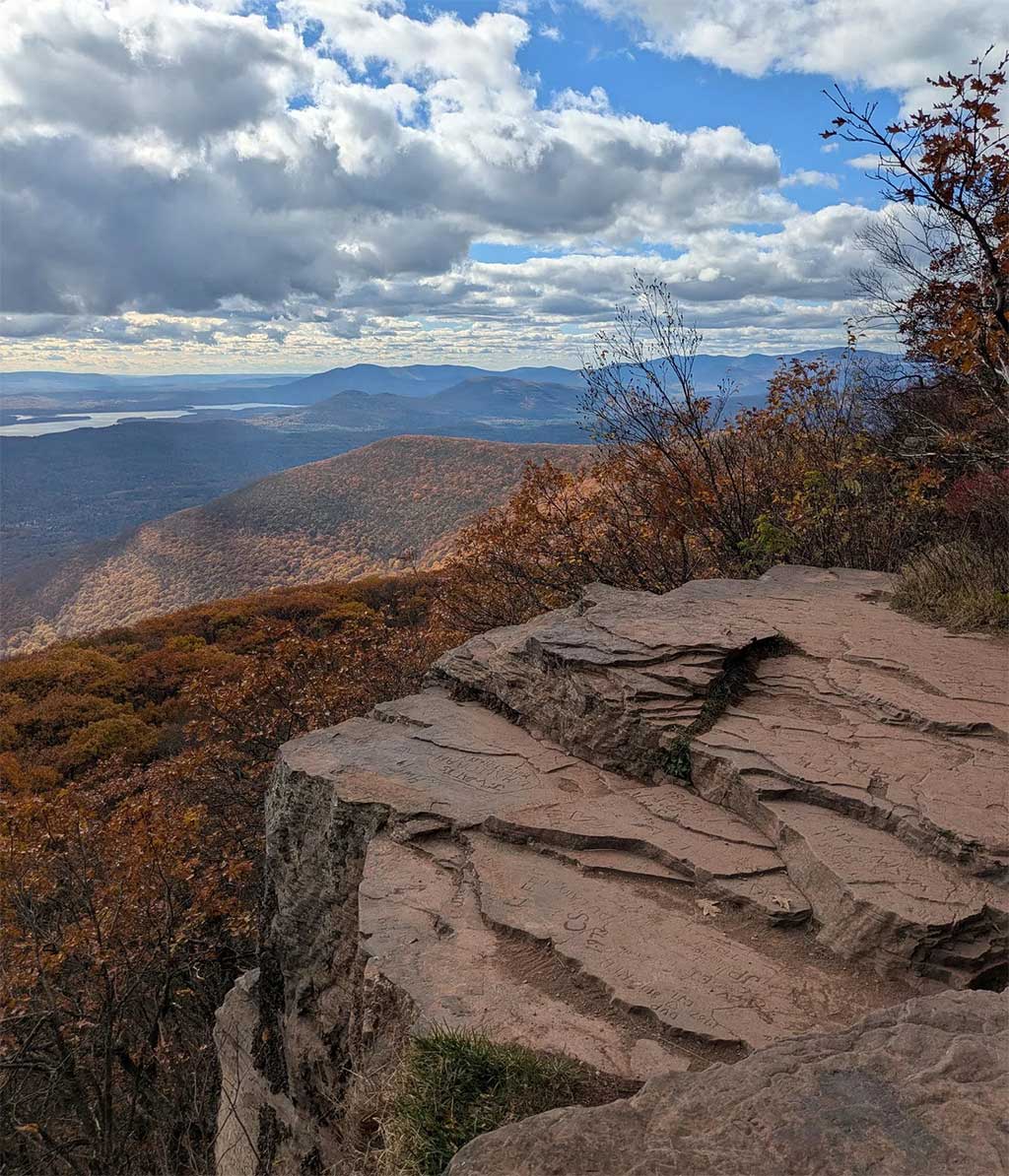
Photo by Robert Gross.Ashokan Rail Trail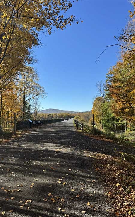
THE WALK: The 12-foot-wide trail runs along the north edge of the Ashokan Reservoir for a total of an 11.5-mile out-and-back on crushed stone. It’s mostly level and even a chunk of it will bring rich rewards.
THE HISTORY: You’re walking past drowned towns. When the New York City Board of Reservoirs decided to impound some of the Esopus Creek in the early 20th century, homes and businesses and the railroad were relocated, not without controversy. With the passing of generations, anger has given way to poignant poetry.
SPECIAL FEATURES: Fully ADA-compliant and accessible. Port-a-potties at trailheads. You can rent bikes at Overlook Bicycle Rentals in Shokan.
VIEWS:On a calm day, the glassy surface of the reservoir creates a vast natural mirror for the colors of the surrounding forests and mountains.
GETTING HERE: There are three public trailheads with parking.
Woodstock Dike Trailhead is located at 1285 NY-28 in West Hurley. The trailhead entrance is 5.3 miles west of the NYS Thruway Exit 19 traffic circle and approximately 1,500 feet west of the Stewart’s Shop (by Zena Road).
Ashokan Station Trailhead is located at 3045 NY-28 in Shokan. The trailhead entrance is 11.3 miles west of the NYS Thruway Exit 19 traffic circle across from Mountain Road.
Boiceville Bridge Trailhead is located at 5080 Route 28A in Boiceville. The trailhead entrance is off Route 28A approximately 16.5 miles west of the NYS Thruway Exit 19 traffic circle. Cold Brook Road is directly across Route 28A from this entrance.
ashokanrailtrail.com
THE WALK: About 3 miles out-and-back; the “out” part is fairly steep and rocky in some areas for a dandy little workout. You’ll start on the yellow trail then make a left onto the blue at about 1/4 mile up.
THE HISTORY:You’re on the lower southern slope of Panther Mountain, over a meteorite crater where something massive hit 375 million years ago, when the Catskills were either river delta or a shallow sea. (The panthers, if they were ever really here, are long gone.)
SPECIAL FEATURES: Once you’ve made it to the official Giant Ledge, continuing just a little way further on the Blue Trail will bring you to four more overlooks. There’s also wilderness camping up here.
VIEWS: The High Peaks of the Catskills, rolling away to the west.
GETTING HERE: From Kingston, take Route 28 West for 30 miles to Big Indian. Turn left onto County Route 47/Oliverea Road and continue 7.4 miles; you’ll see the marked trailhead parking on your right.
scenichudson.org/explore-the-valley/outdoor-adventures/adventure/giant-ledge https://catskillsvisitorcenter.org/place/giant-ledge-trailhead/
Photo by Nik Tom.Giant Ledge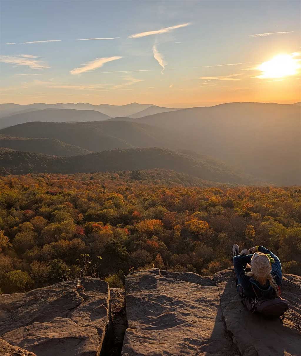
Photo by Mike Adye.Shavertown Trail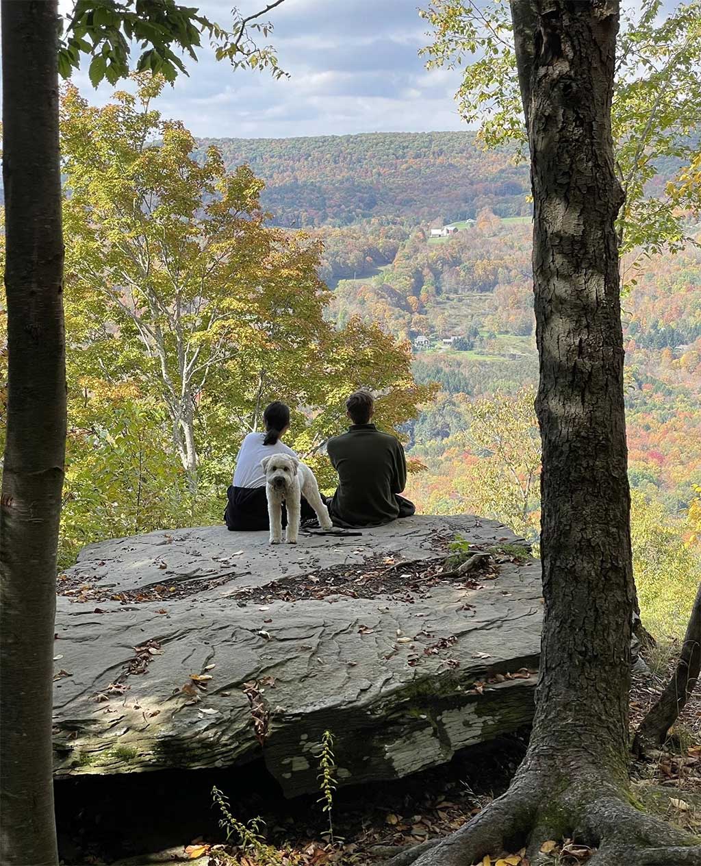
THE WALK: 1.5-mile out-and-back with a moderate grade.
THE HISTORY: The hamlet of Shavertown, settled in the 1780s, was relocated and submerged in the mid-20th century to create the Pepacton Reservoir.
SPECIAL FEATURES: Two bodies of water, one being Snake Pond, the other being the Pepacton Reservoir, add enormous beauty to your quest. The little town of Andes has a Main Street worth exploring after your hike
VIEWS:From the Tremperskill Overlook (follow the blueblazed trail) you’ll have lovely Catskills and reservoir views.
GETTING HERE: About 47 miles west of Kingston on Route 28, you’ll see NY Route 30-S on your left. After 8 miles, turn right onto County Route 1/BWS 4. You’ll see the trailhead parking lot.
County Route 1
Andes, NY 13731
catskillmountainclub.org/shavertown-trail
THE WALK: 2.3 miles out-and-back along a gravel road with a mild elevation gain. You can also drive to the summit.
THE HISTORY:Here’s the lore: Utsayantha was the daughter of the Lenape chief Ubiwacha. She had a baby with a settler; her dad wasn’t happy and killed both the dad and the baby. It’s rumored that Utsayantha then threw herself into the lake.
SPECIAL FEATURES: A lookout fire tower originally constructed by the Civilian Conservation Corps in 1934 has been restored and is open to the public. Stamford is also a cool Catskills town/village with a vibrant art, music, and food scene.
VIEWS: Incredible 360-degree Catskills panoramas from the fire tower. Plenty of loveliness from ground level too; you’re atop 3,214-foot Mount Utsayantha.
GETTING HERE: From the village of Stamford, take Route 23 East to Mountain Avenue on the right. A steep climb later, you’ll see Tower Road on the left. It’s a dirt road you can either drive or hike.
catskillhiker.net/C100PP/peaks/utsayantha.shtml
Photo by Peter Murphy.Mount Utsayantha