
With over 8,000 acres of mountain cliffs, forests, fields, streams and other beautiful natural places, developing and maintaining excellent wayfinding tools for Mohonk Preserve’s 300,000 annual visitors is imperative, and a tall order.
Over the past two years, led by the organization’s Geographic Information System (GIS) expert and Land Projects Manager Ed Pestone, the Preserve has been engaged in a comprehensive evaluation and redesign of its maps, onland signage, and other wayfinding tools.
Wayfinding is more than just a process of getting from point A to point B—it also involves understanding options for activities, such as hiking, climbing, or cycling; levels of difficulty such as elevation, distance, or trail types; and locations of natural features such as scenic vistas or waterfalls.
Before Ed undertook the wayfinding project, the Preserve was using a 20-year-old, handdrawn map by artist Jack Fagan, who has contributed many natural history illustrations to the Preserve. After Mr. Fagan decided to step away from mapmaking, the Preserve took a comprehensive look at not just the map, but all the onland wayfinding assets.
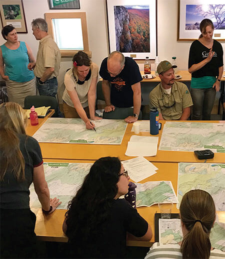
A working group of Preserve staff was assembled, including members from Land Protection, Stewardship, Education, Development, and Marketing & Communications, along with interns working with Ed. “Input from Preserve Rangers and Visitor Services staff was particularly helpful in identifying some of the challenges of the existing wayfinding tools based on their on-land experience with visitors,” Ed noted.
“Also getting perspectives from people who were very experienced map users and those who had little to no experience with maps allowed us to include features suited to both audiences.”
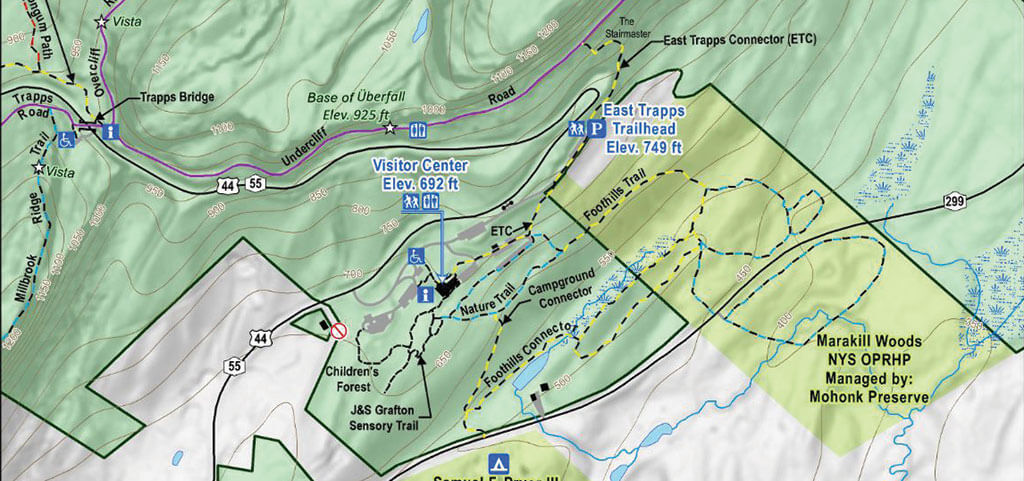
An important goal of the wayfinding system update was to include new areas of the Preserve, such as the Giant’s Ledges Trailhead, which branches off of the Wallkill Valley Rail Trail in Rosendale, and the Testimonial Gateway and Duck Pond Trailheads at the Mohonk Preserve Foothills in New Paltz. Also included is the River-to-Ridge Foothills Loop Trail, created jointly by the Open Space Institute and Mohonk Preserve, along with the Samuel F. Pryor III Shawangunk Gateway Campground, co-managed by the Preserve and the American Alpine Club, and the Marakill Woods, which the Preserve is managing for the Palisades Interstate Parks Commission, both in Gardiner.

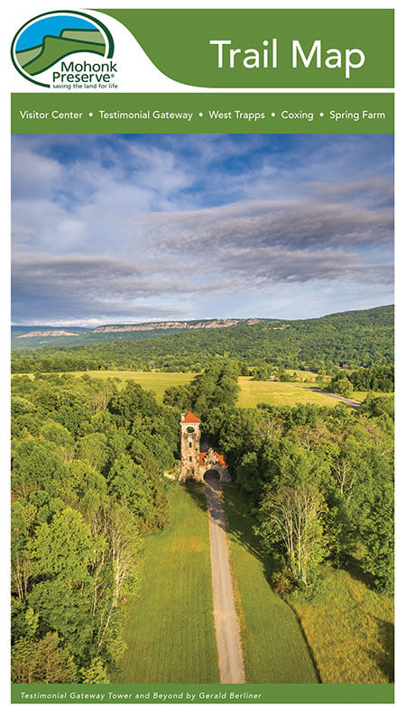
The new full-color map is available for sale at the Preserve’s Visitor Center. There are also free area maps with suggested hikes and activities at all trailheads.
“Some important features of the new map include the addition of elevation information, which is especially helpful for new Preserve users, along with the addition of color to identify trails and natural features,” Ed noted. “Special consideration was given to accessibility when choosing font sizes and colors. Also, along with a comprehensive new physical map, we will soon be offering a digital option for download from the Avenza Maps app.”
During the project, Ed worked closely with the Preserve’s Marketing & Communications team on the design and branding elements and with Education program staff on the wayfinding signage and accessibility features. The new full-color map, printed on weather- and tear-resistant paper, is available for sale at the Preserve’s Visitor Center. There are also free area maps with suggested hikes and activities at all trailheads. Additionally, new trail map signage has been placed at select trailheads, and updated directional trail signs are being installed throughout the Preserve.

The Preserve’s Trail Map project was supported with funding from the New York StateConservation Partnership Program and New York’s Environmental Protection Fund, administered by the Land Trust Alliance and Department of Environmental Conservation. The Preserve was also fortunate to work with Williams & Heintz Map Corporation, a fifthgeneration map design and production firm with over 100 years of experience.
As Ed knows, updating and refining wayfinding is a continuous process. “We already have a list of changes for our next printing, which I’m sure will continue to grow,” he said. Ed is also updating the latest version of the online mapping program he uses. Fortunately, the Preserve’s GIS expert is up to the task of keeping the Preserve and its visitors on course for the future! Stop by the Visitor Center to pick up a new map and explore scenery that you never have before. The well-maintained carriage roads, hiking trails, and climbing cliffs at Mohonk offer options for explorers of all levels, and there’s no better way to be immersed in the beauty that each season has to offer.
Mohonk Preserve Visitor Center
3197 Route 55, Gardiner
845-255-0919
mohonkpreserve.org

